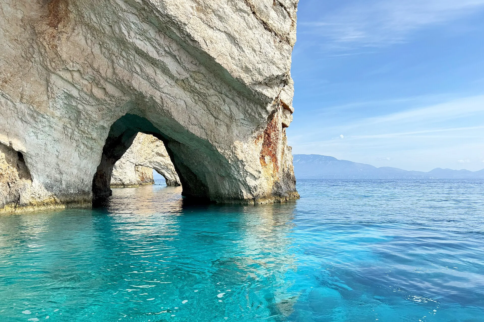
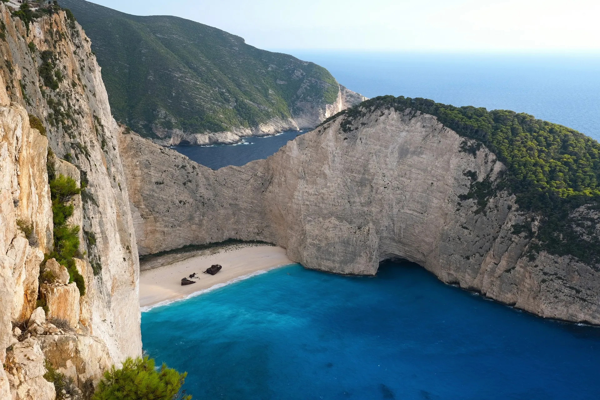
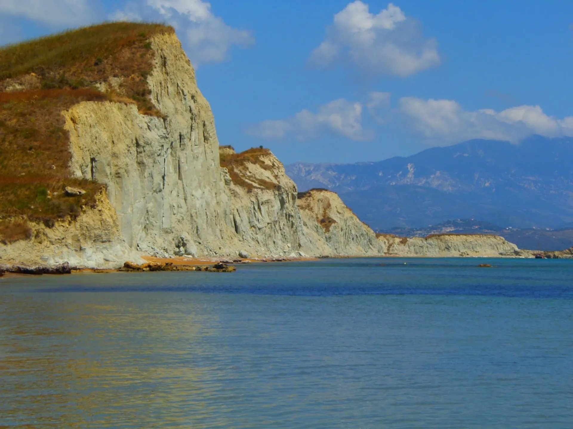
Hiking Mount Skopos — The View That Puts Everything in Context
Before you explore any beach, village, or bay on Zakynthos, climb Mount Skopos. The 492-metre summit directly above Zakynthos Town gives you the full geography of the island in a single glance — the sweep of Laganas Bay, the bulk of the Vrachionas massif to the north, the long Ionian horizon to the west, and the town itself arranged below like an architect’s model. Every place you’ll visit on the island makes more sense after you’ve seen them all at once from up here.
The hike is accessible year-round. In summer it’s best done early morning before the heat arrives. In winter it’s often misty and atmospheric. In spring it’s covered in wildflowers. The only season that occasionally makes it impractical is midsummer midday — July and August between 11:00 and 16:00, when the exposed south-facing slopes become uncomfortably hot.
The Route
The trailhead begins at the eastern edge of Zakynthos Town, near the old slaughterhouse on Strani hill. From the town centre, it’s a five-minute walk. The path is marked — sporadically, but consistently enough — with red paint blazes on rocks.
The ascent takes you through three distinct zones. The lower section winds through old olive terraces, gradually giving way to pine forest that smells extraordinary after rain. The middle section becomes more exposed, with views opening westward over the town and port. The final approach climbs open limestone scrub to the summit church of the Virgin Mary (Panagia Skopiotissa).
The church at the summit is Byzantine in origin, heavily rebuilt in Venetian times, and partially restored after the 1953 earthquake that destroyed most of Zakynthos. It’s unlocked during religious festivals (August 15th especially), otherwise you walk around it. The views from the churchyard are the destination.
Allow 55–70 minutes ascending, 40–50 minutes descending. The round trip is roughly 6 kilometres.
What You See at the Top
On a clear morning — and most mornings are clear on Zakynthos — the summit panorama includes:
- South: Laganas Bay and its beaches, the flat Laganas peninsula, and the outline of Marathonisi island (turtle nesting island)
- West: The open Ionian; on exceptionally clear days, the outline of Kefalonia
- North: The Vrachionas range, the wine country villages, and the beginning of the dramatic western cliffs
- East: The Peloponnese mainland, clearly visible across the Kyparissiakos Gulf
The Venetian lighthouse at the summit has been decommissioned but still stands. From here, historical accounts suggest, the Venetians kept watch for Ottoman naval movements. It’s now a excellent foreground for photography.
Practical Details
Start point: Eastern end of Strani hill, Zakynthos Town. GPS: approximately 37.7920°N, 20.9040°E
Distance: 6 km round trip
Elevation gain: 480 metres
Time: 2 hours round trip at a steady pace
Surface: Mixed: stone path, dirt track, rocky scrub
Water: Bring your own — there is nothing at the summit
Shade: Partial in lower section; minimal on upper slopes
Footwear matters more than it looks on maps — the limestone on the upper section is uneven and slippery when wet. Proper walking shoes or hiking boots are recommended; sandals are asking for trouble.
Getting There
The trailhead is walkable from almost anywhere in Zakynthos Town. If you’re driving, park near the Strani viewpoint (there’s a small car park) and begin the trail from there. No entrance fee. No permit needed. No shuttle.